
Places to visit: coast, rivers and towns
Disponible solo en inglés
Shell Beach turtles, Fort Zeelandia and Kyk-Over-Al, the Essequibo River and Bartica, New Amsterdam, Linden and the Demerara crossing.
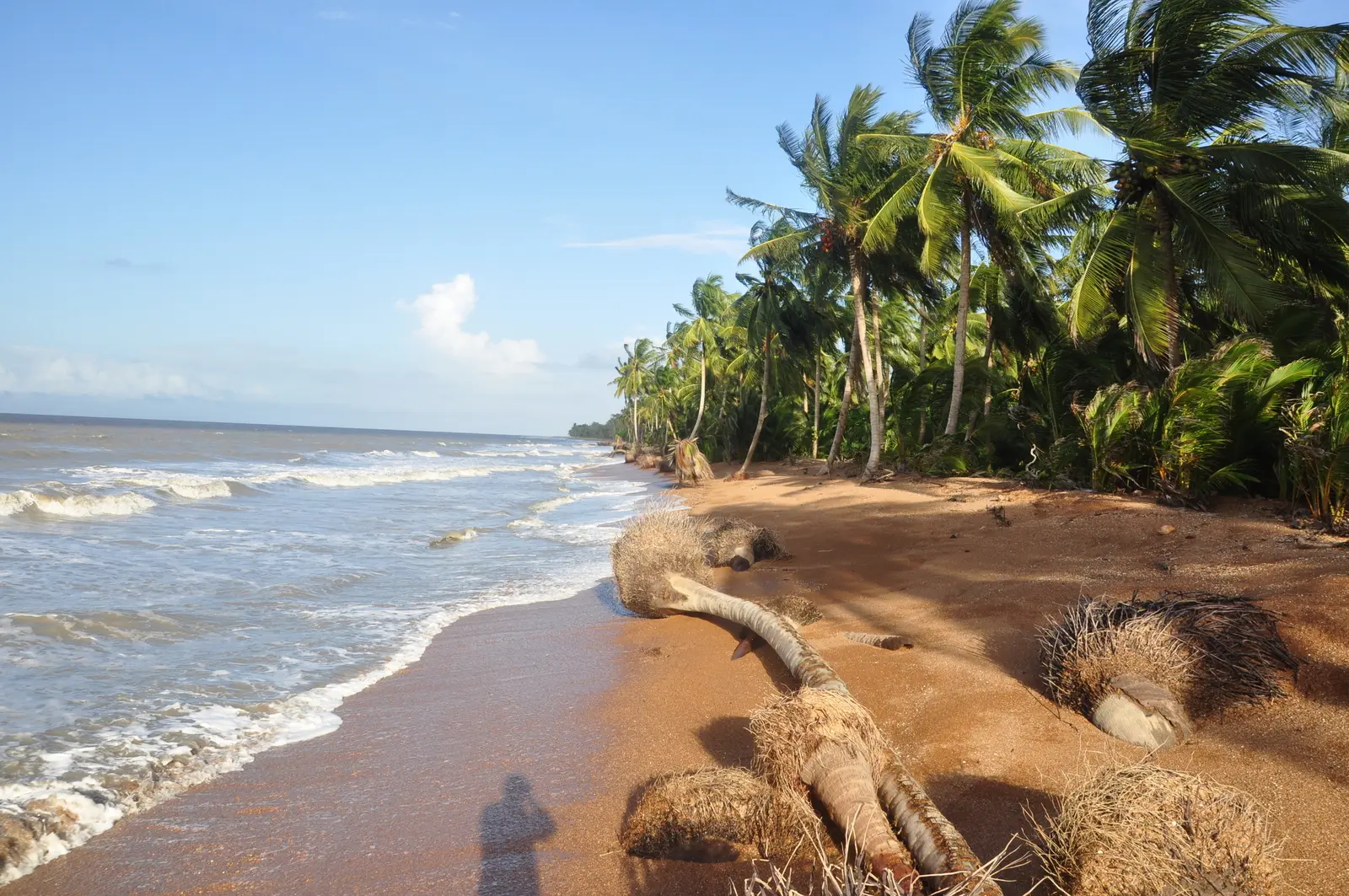
Shell Beach
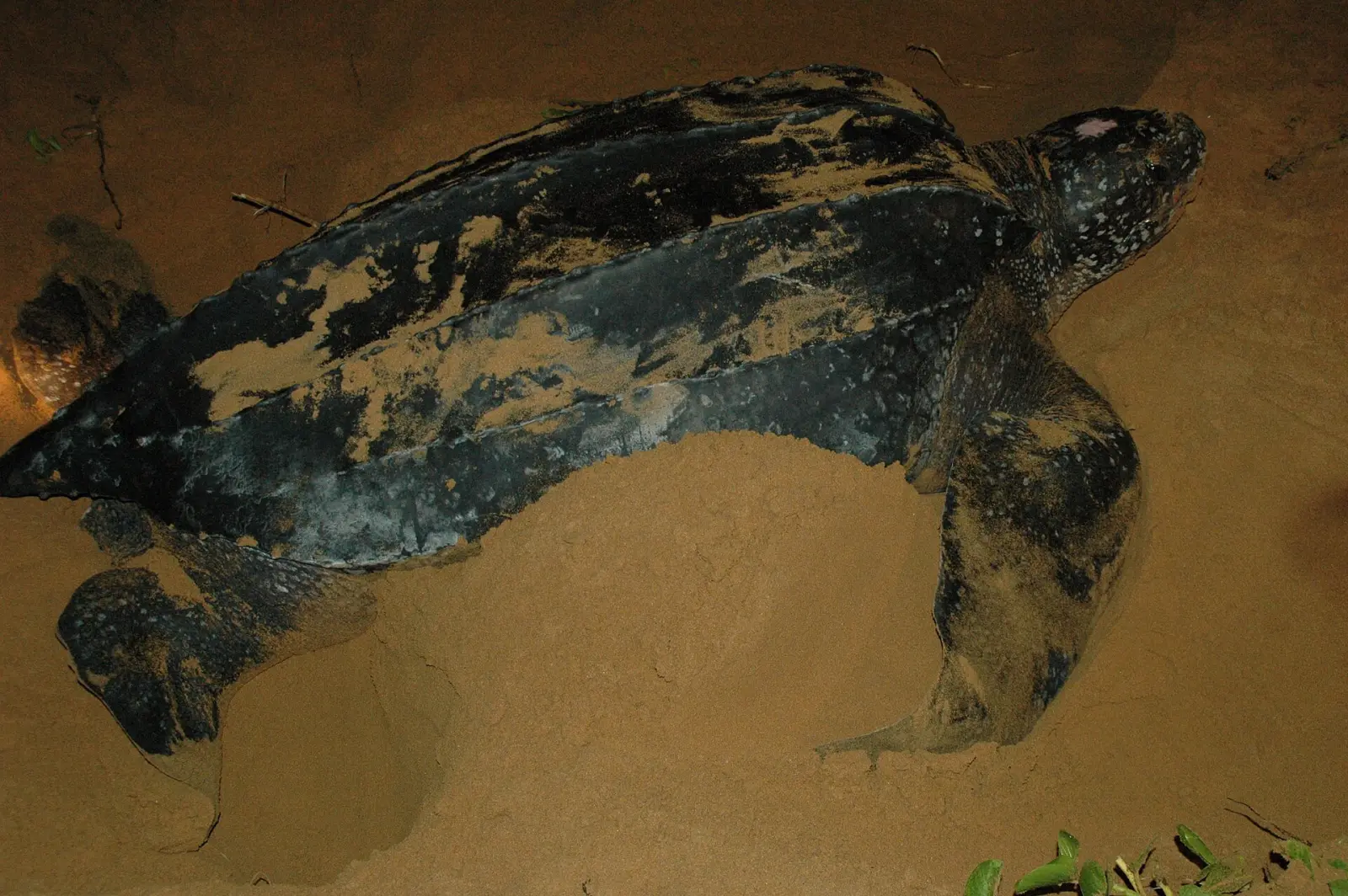
About 120 km of Atlantic coast in the Barima-Waini region, near the Venezuelan border. Four of the world's eight sea turtle species nest here: green, hawksbill, leatherback and olive ridley. It has been a protected area since 2011, and people from Almond Beach and other nearby Indigenous villages take part in the conservation programme.[1] Shell Beach (Almond Beach) is on UNESCO's Tentative List.[2]
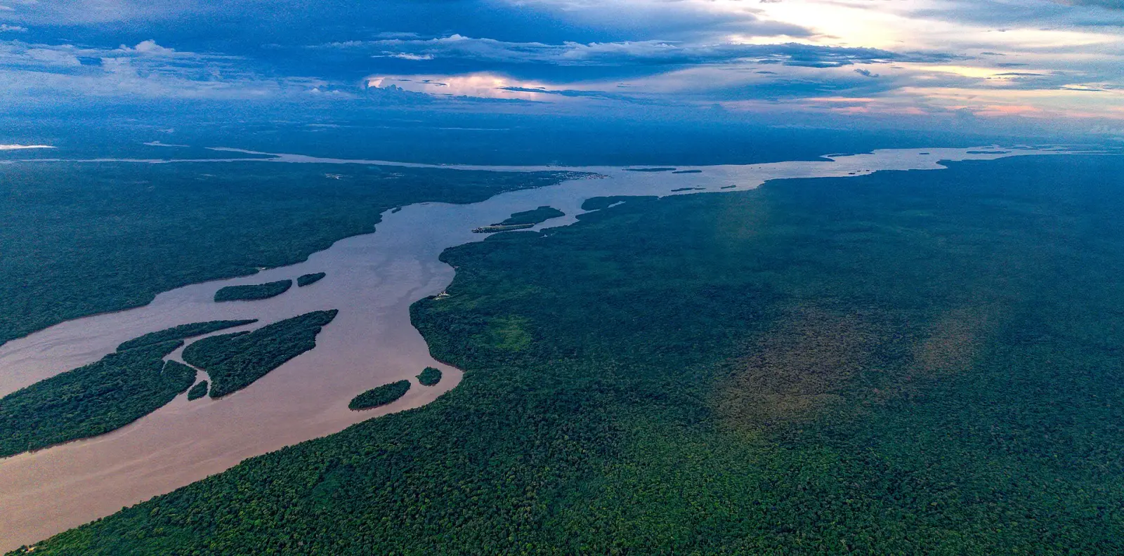
The Essequibo River
Guyana's largest river, flowing 1,014 km north from the Acarai Mountains to the Atlantic. Its estuary is about 20 km wide and dotted with islands, including Leguan, Wakenaam and Hogg Island. Sloth Island is an eco tourism island in the river.[3]
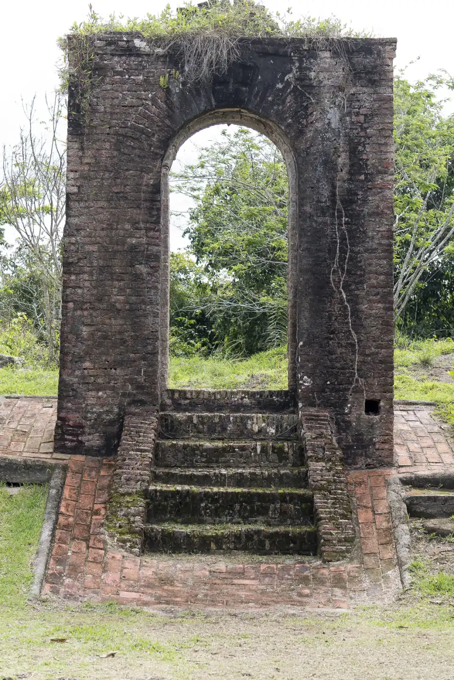
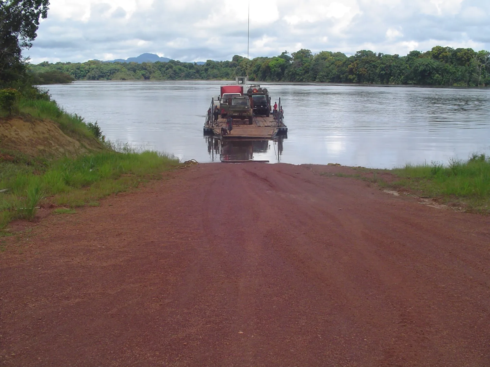
Fort Zeelandia
A brick fort on Fort Island in the Essequibo delta, finished in 1743 by enslaved Africans. It is among the oldest structures in Guyana. Together with the Court of Policy building, it was added to UNESCO's Tentative List in 1995.[4][2] See Dutch colonisation.
Kyk-Over-Al
The ruins of a Dutch fort built in 1616 where the Essequibo, Cuyuni and Mazaruni rivers meet. It was once the centre of Dutch rule.[5]
Bartica
The "Gateway to the Interior" and capital of the Cuyuni-Mazaruni region, on the Essequibo where it meets the Cuyuni and Mazaruni. Population 8,004 (2012). It is the starting point for gold and diamond miners heading into the bush, and can be reached from Parika and from Linden.[6]

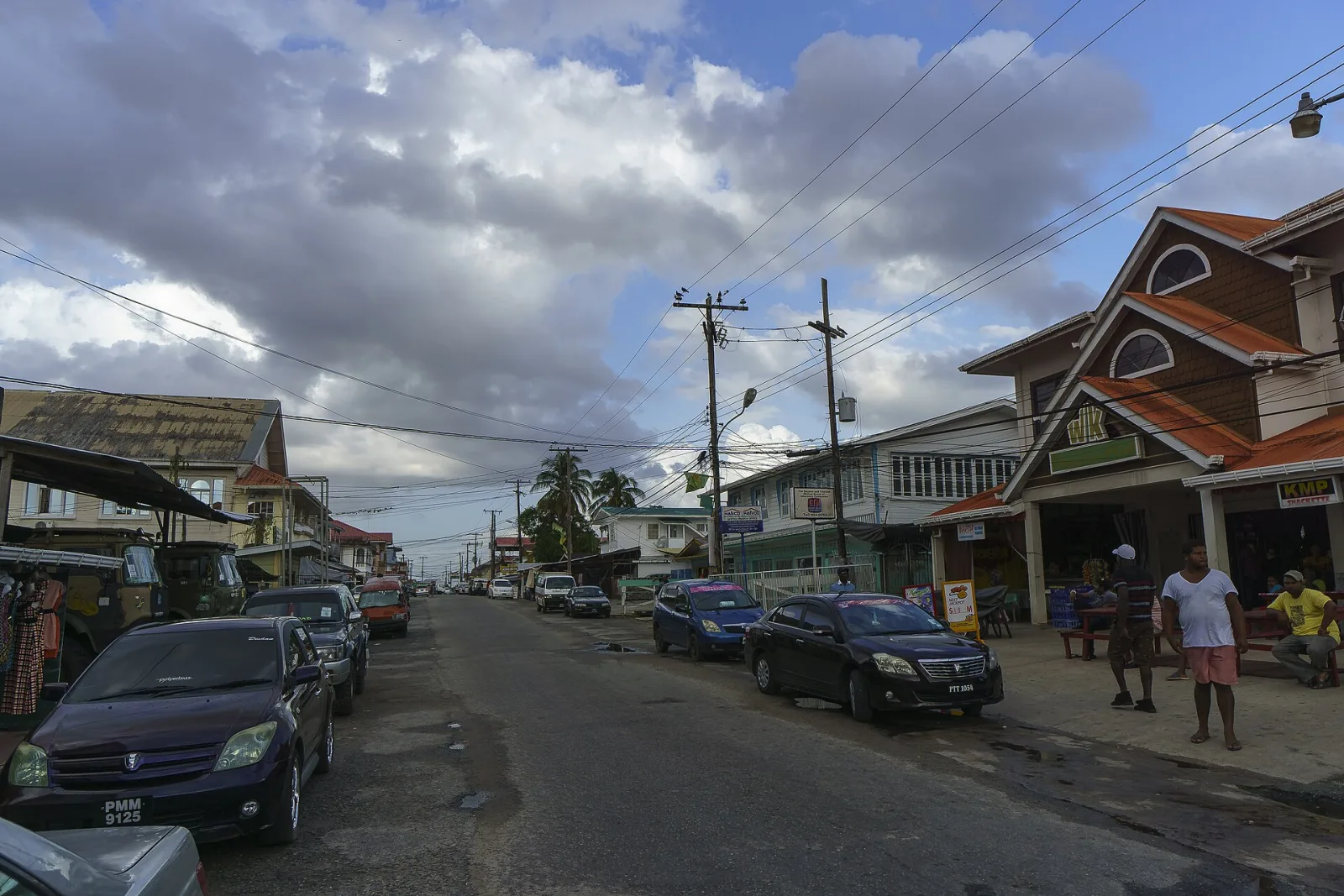
New Amsterdam
The capital of East Berbice-Corentyne, about 100 km from Georgetown on the east bank of the Berbice River. The town has many old colonial buildings, some from Dutch times.[7] See Berbice Uprising.
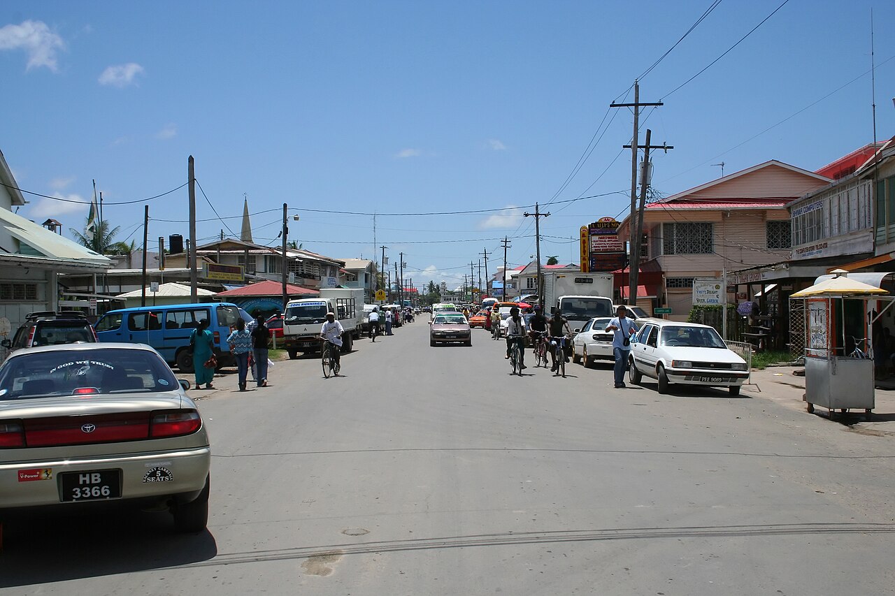
Linden
Guyana's second largest town, on the Demerara River, with 33,183 people in 2022. It is a bauxite mining town that includes MacKenzie, Christianburg and Wismar.[8]
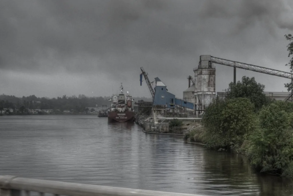
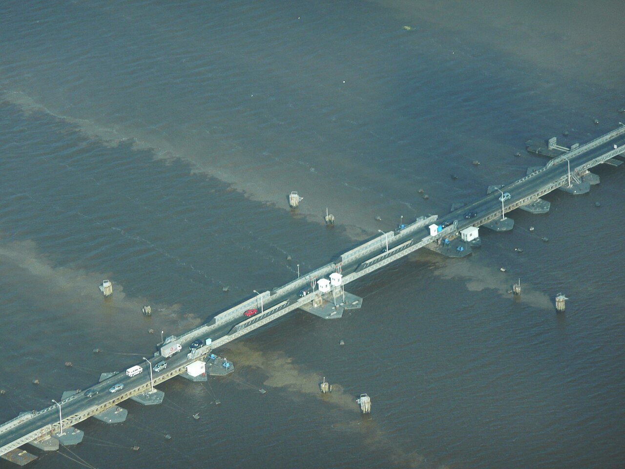
Crossing the Demerara
The floating Demerara Harbour Bridge opened in 1978 and closed on 5 October 2025, when it was replaced by the New Demerara Harbour Bridge.[9]
References
- "Shell Beach, Guyana". Wikipedia. https://en.wikipedia.org/wiki/Shell_Beach,_Guyana Open source
- "Guyana: Tentative List". UNESCO World Heritage Centre. https://whc.unesco.org/en/statesparties/gy (checked 24 Oct 2026) Open source Checked 24 Oct 2026.
- "Essequibo River". Wikipedia. https://en.wikipedia.org/wiki/Essequibo_River Open source
- "Fort Zeelandia (Guyana)". Wikipedia. https://en.wikipedia.org/wiki/Fort_Zeelandia_(Guyana) Open source
- "Fort Kyk-Over-Al". Wikipedia. https://en.wikipedia.org/wiki/Fort_Kyk-Over-Al Open source
- "Bartica". Wikipedia. https://en.wikipedia.org/wiki/Bartica Open source
- "New Amsterdam, Guyana". Wikipedia. https://en.wikipedia.org/wiki/New_Amsterdam,_Guyana Open source
- "Linden, Guyana". Wikipedia. https://en.wikipedia.org/wiki/Linden,_Guyana Open source
- "Demerara Harbour Bridge". Wikipedia. https://en.wikipedia.org/wiki/Demerara_Harbour_Bridge Open source
Categories: Travel guide | Places to visit
Text CC BY-SA 4.0. Adapted in part from the Wikipedia articles listed under References (CC BY-SA 4.0). Images are credited under their own licences. Site contact: service@computingcore.net.