
Places to visit: the interior
Kaieteur and Orinduik Falls, the Iwokrama rainforest, the Rupununi savannahs, Indigenous community lodges, Lethem and Mount Roraima.
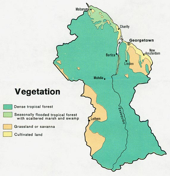
Most of Guyana is forest, mountain and savannah with very few roads. Many trips are by small plane or boat, so book with a licensed operator.[1][2]
Before you go: the US government advises using only Guyana Tourism Authority approved tour operators, and warns that medical care is very limited outside Georgetown. Canada and the UK recommend travel insurance that covers medical evacuation.[2][3][4]
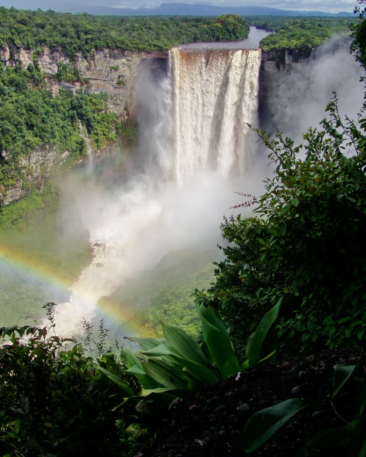
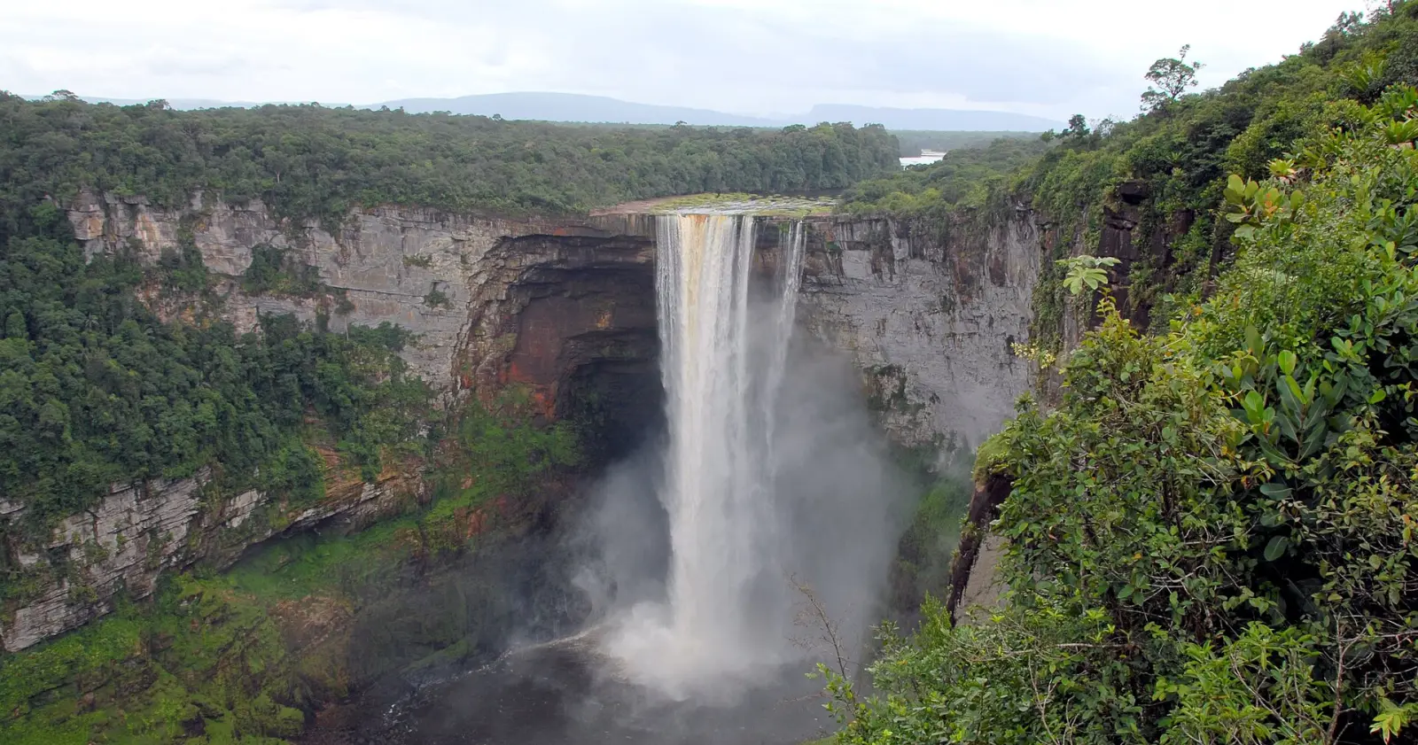
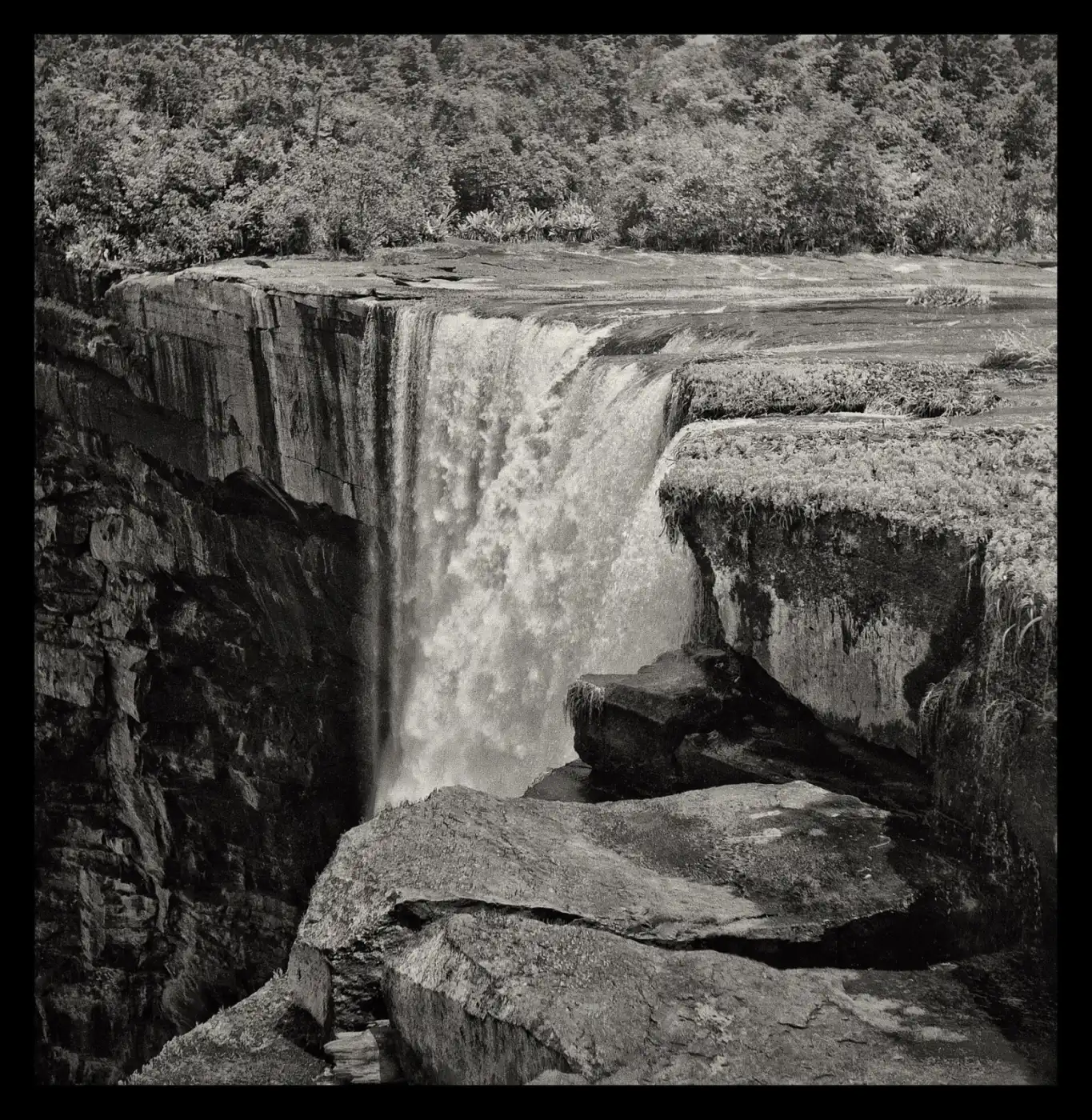
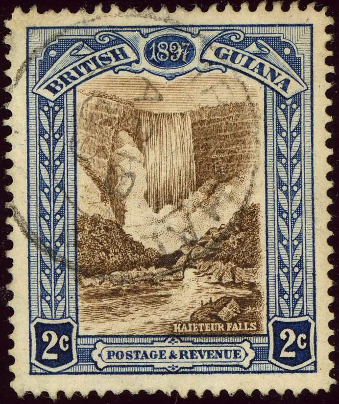
Kaieteur Falls and National Park
Kaieteur Falls drops 226 m (741 ft) over a sandstone cliff on the Potaro River. Few waterfalls combine such height with so much water, making it one of the most powerful in the world.[5] The park was enlarged to about 630 square km in 1999.[6] It is home to rare species such as the tiny golden rocket frog, which breeds only in one kind of giant bromeliad.[6] Most visitors arrive by small plane at Kaieteur airport.[7]
Orinduik Falls
On the Ireng River in the Pakaraima Mountains, on the border with Brazil. The falls are about 25 m tall and more than 150 m wide. Trips are often combined with Kaieteur.[8]
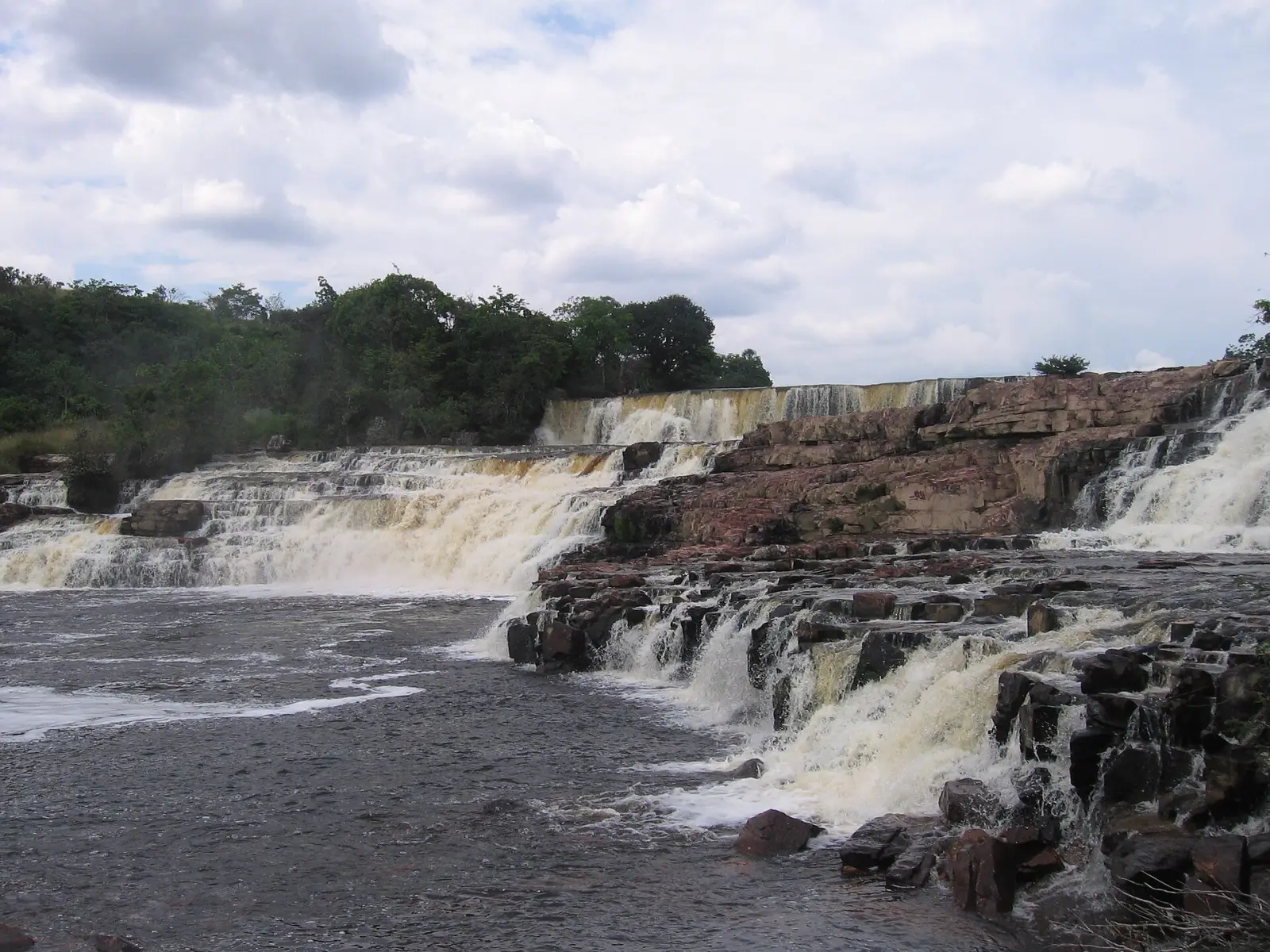
Iwokrama Forest
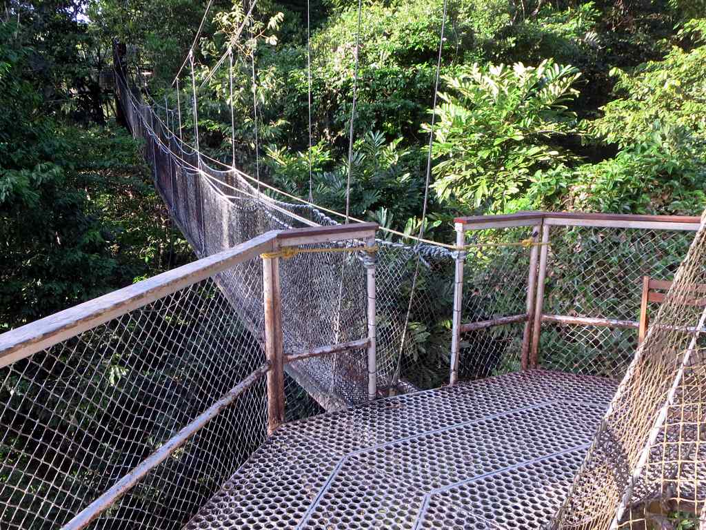
A 3,716 square km rainforest reserve in the Guiana Shield, crossed by the Georgetown to Lethem road.[9] Its canopy walkway, about 154 m long near Atta Rainforest Lodge, lets visitors walk among the treetops.[10]
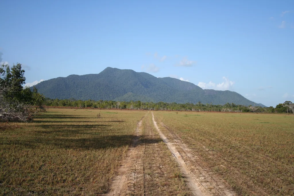
The Rupununi
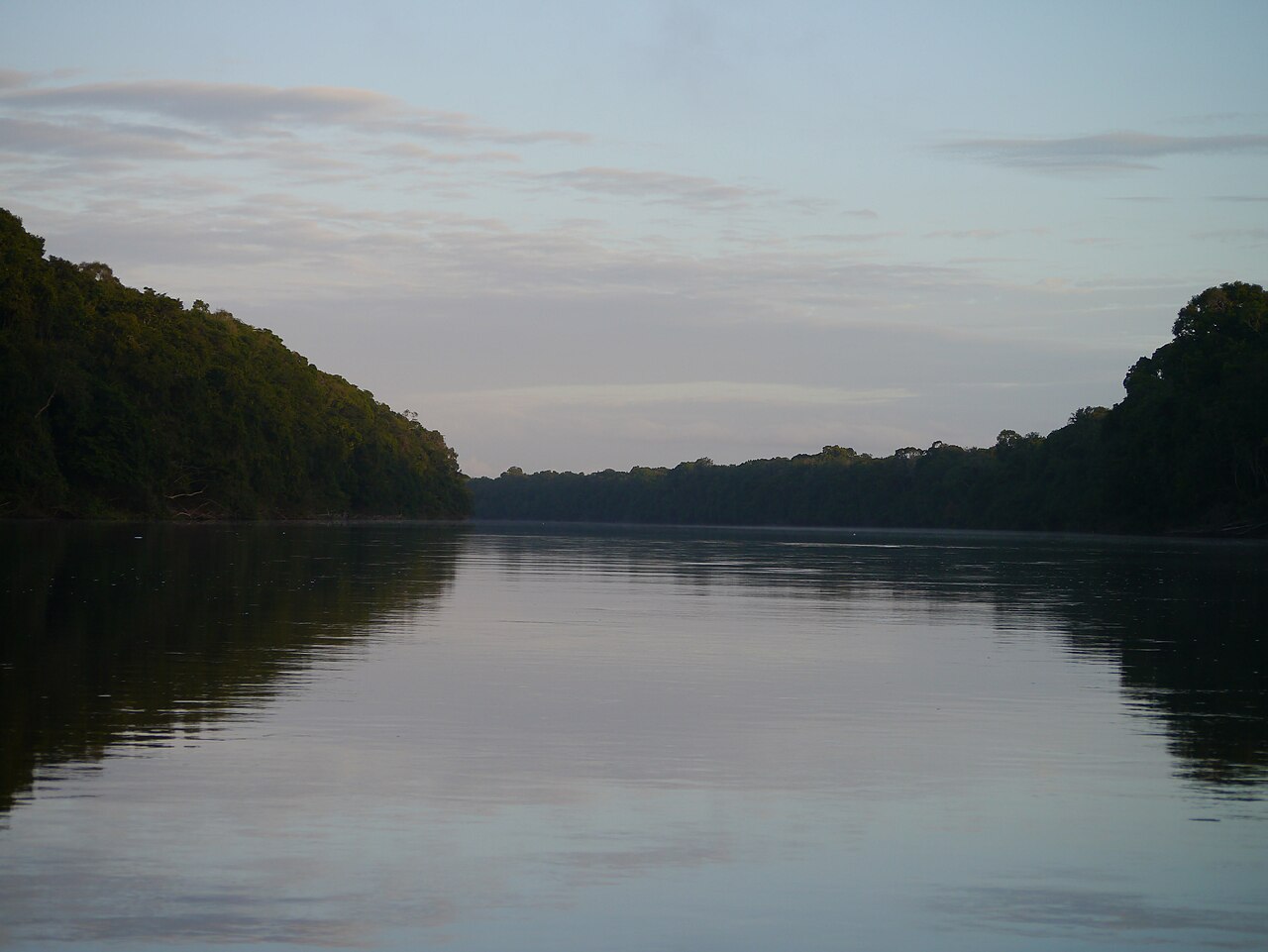
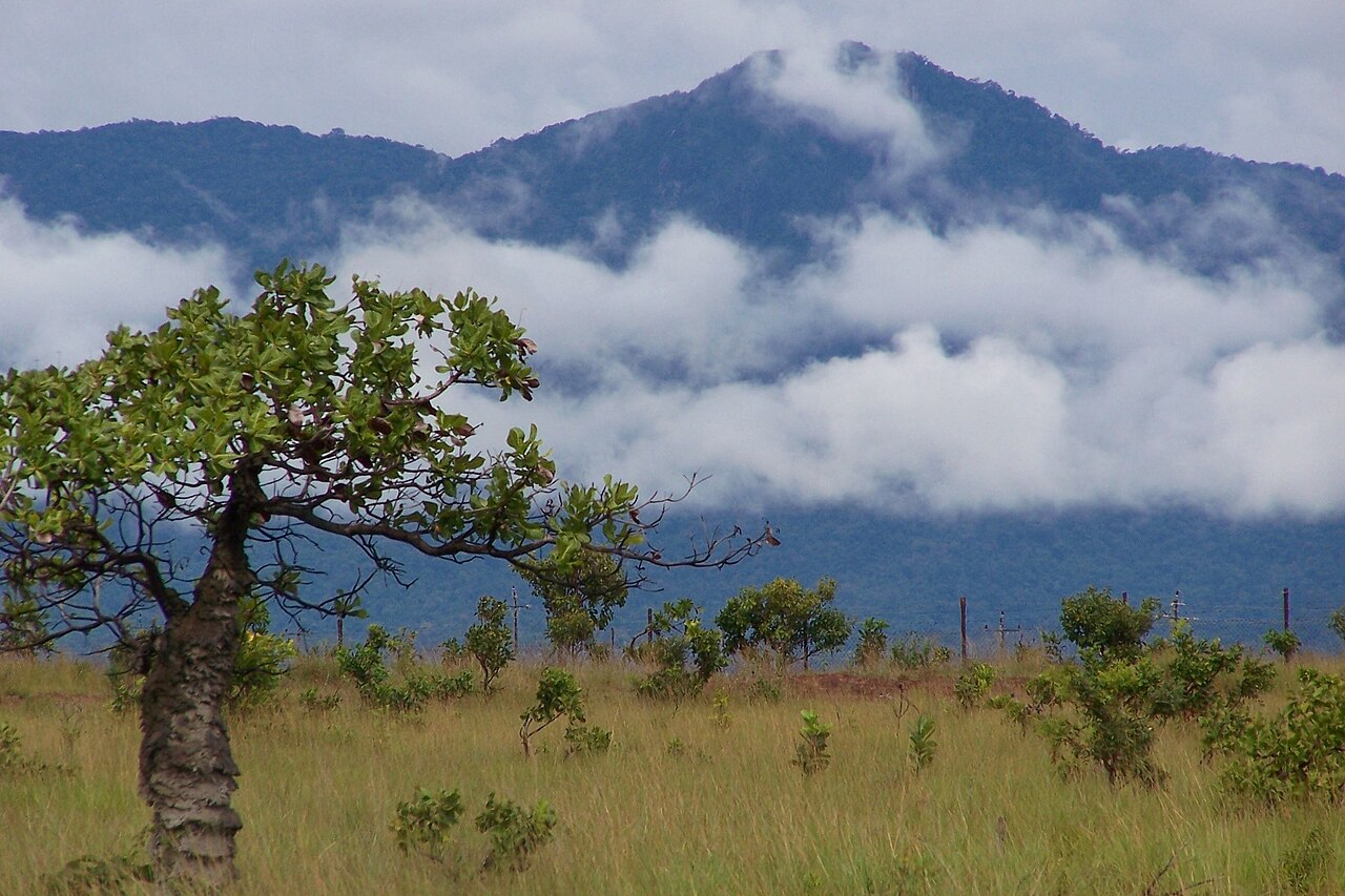
Southern Guyana's Rupununi region mixes savannah, wetlands, forest and low mountains around the Rupununi River, a main tributary of the Essequibo.[11]
Community lodges
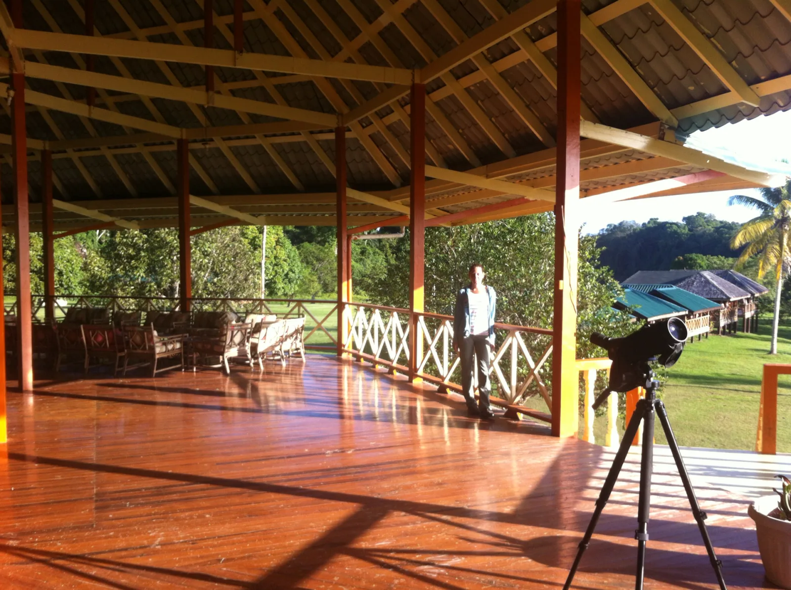
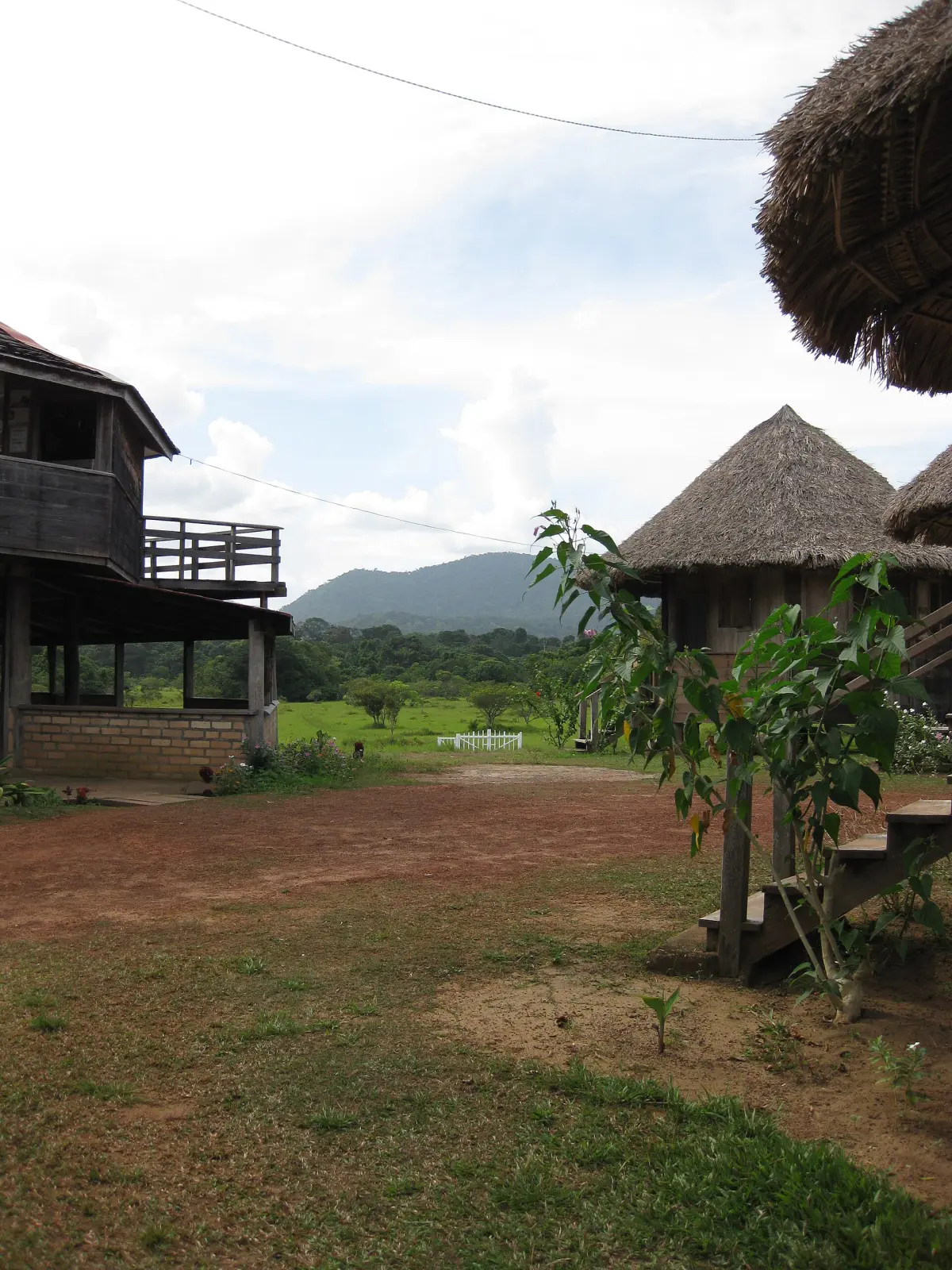
- Surama: a mainly Makushi village that welcomed its first tourists in 1996. Their payments funded the village's first guest lodge, and Surama Eco-Lodge later won a Caribbean Tourism Organisation sustainable tourism award (2011).[12]
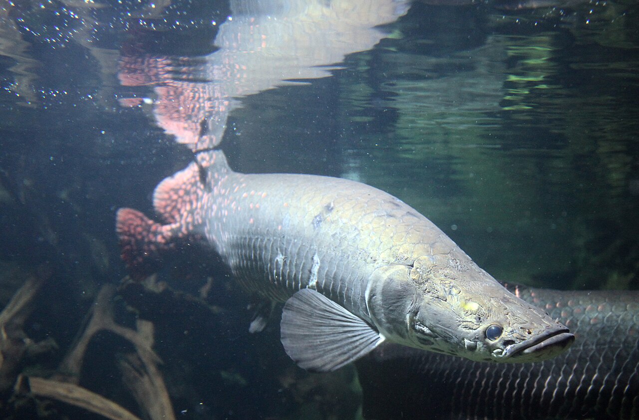
- Rewa: a village where the Rewa River meets the Rupununi, with an eco lodge that opened in 2005. Villagers have helped relocate endangered arapaima.[13]
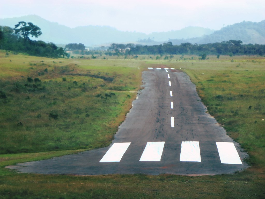
- Annai: a paved airstrip next to Rock View Lodge serves this part of the Rupununi.[14]
Kanuku Mountains
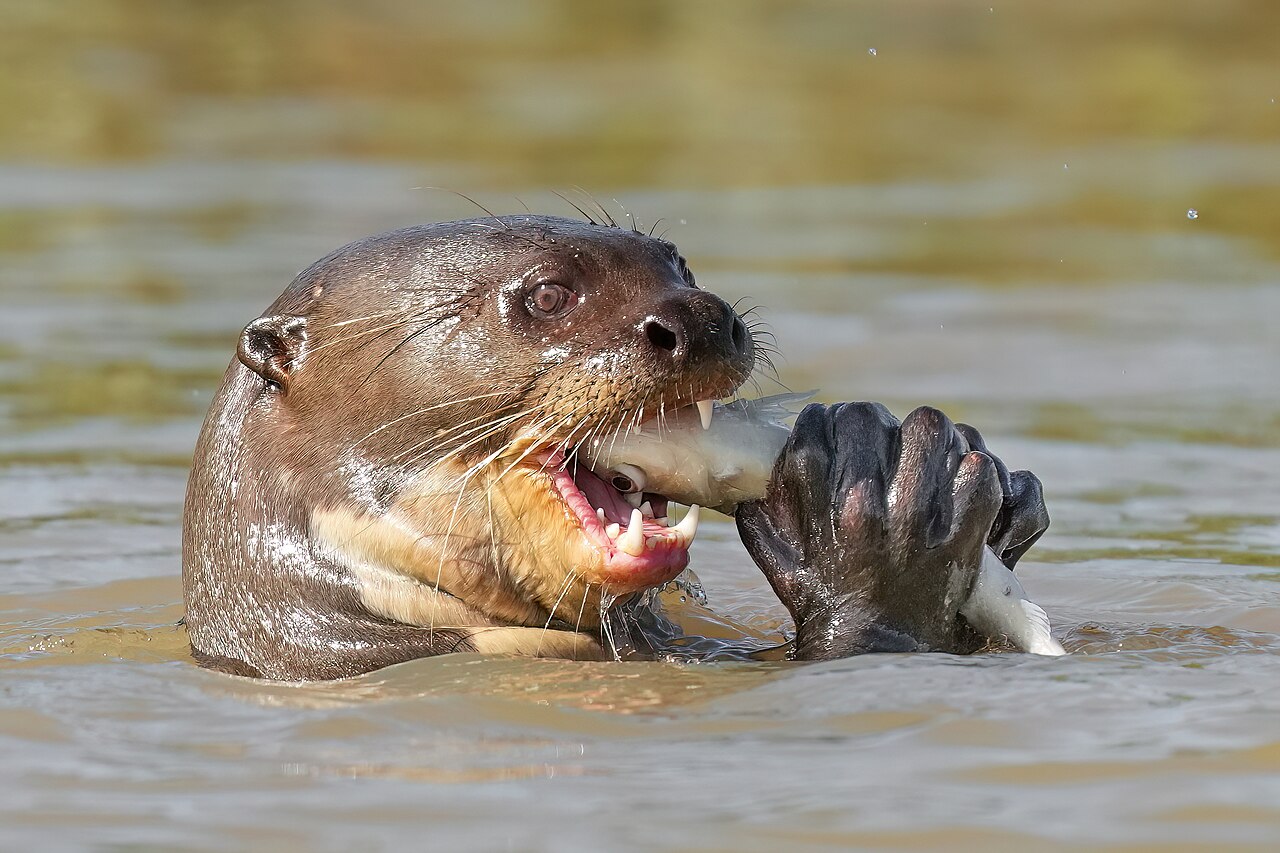
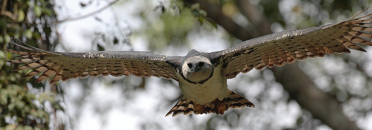
Declared a National Protected Area in 2011. The lowland forests support about 53% of Guyana's known bird species and about 70% of its mammals, including giant otters, harpy eagles and arapaima.[15]
Wildlife to look for
Lethem
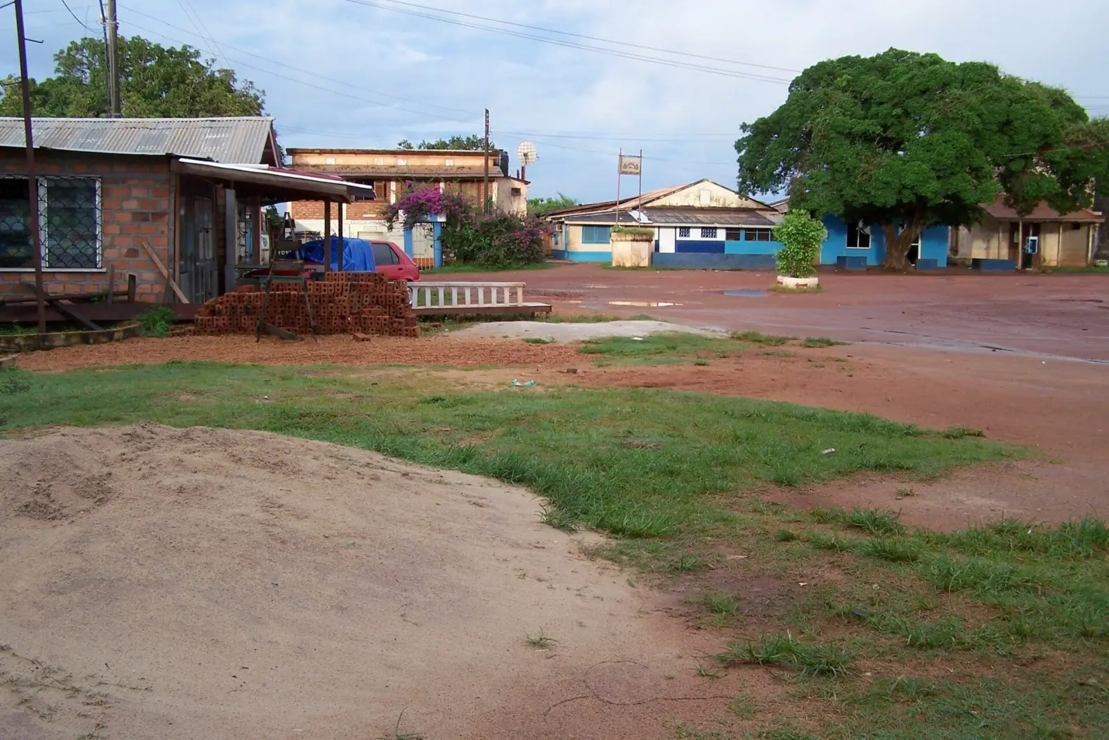
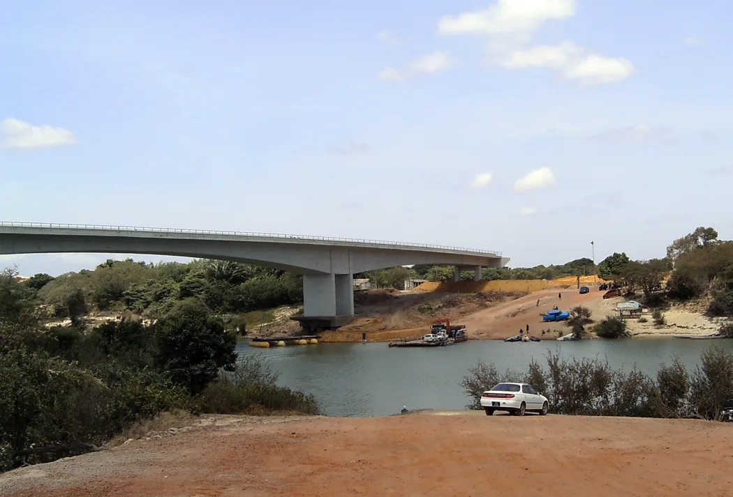
The capital of the Upper Takutu-Upper Essequibo region, named after Governor Sir Gordon Lethem. Its Easter weekend rodeo is the town's main event.[16] The Takutu River Bridge, opened in 2009, links Lethem with Bonfim in Brazil. It is the only land border in the Americas where drivers switch from the left side of the road to the right.[17]
Mount Roraima
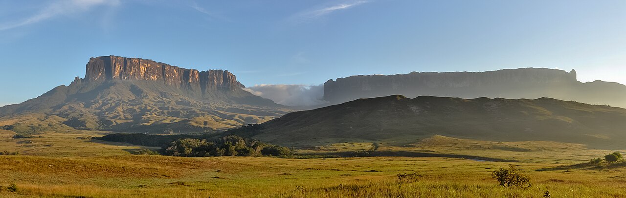
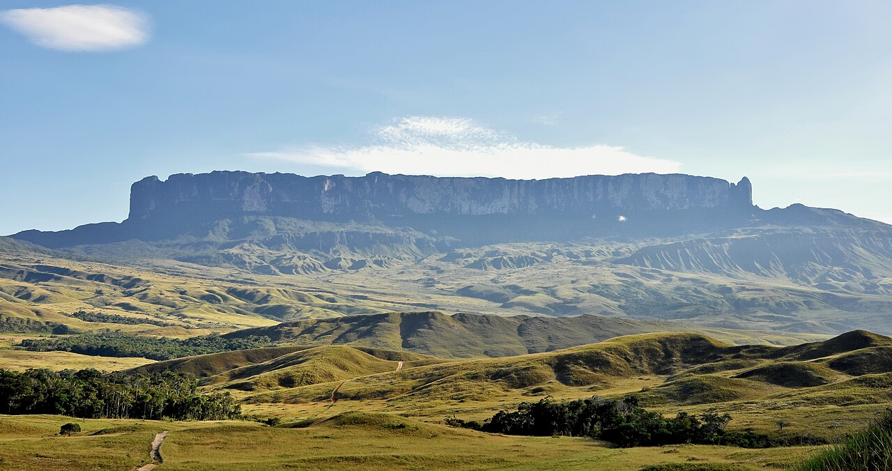
A table top mountain (tepui) where Guyana, Brazil and Venezuela meet. A point at 2,772 m on the tripoint is the highest in Guyana.[18] Most climbs start from the Venezuelan side. The UK advises against all but essential travel to most of Venezuela (advice updated 14 Oct 2026), so check your government's advice before planning.[19]
References
- "Guyana". Wikipedia. https://en.wikipedia.org/wiki/Guyana Open source
- "Guyana: Travel Advisory". US Department of State. https://travel.state.gov/content/travel/en/international-travel/International-Travel-Country-Information-Pages/Guyana.html (checked 24 Oct 2026) Open source Checked 24 Oct 2026.
- "Guyana travel advice". Government of Canada. https://travel.gc.ca/destinations/guyana (checked 24 Oct 2026) Open source Checked 24 Oct 2026.
- "Foreign travel advice: Guyana". UK FCDO. https://www.gov.uk/foreign-travel-advice/guyana (checked 24 Oct 2026) Open source Checked 24 Oct 2026.
- "Kaieteur Falls". Wikipedia. https://en.wikipedia.org/wiki/Kaieteur_Falls Open source
- "Kaieteur National Park". Wikipedia. https://en.wikipedia.org/wiki/Kaieteur_National_Park Open source
- "Kaieteur International Airport". Wikipedia. https://en.wikipedia.org/wiki/Kaieteur_International_Airport Open source
- "Orinduik Falls". Wikipedia. https://en.wikipedia.org/wiki/Orinduik_Falls Open source
- "Iwokrama Forest". Wikipedia. https://en.wikipedia.org/wiki/Iwokrama_Forest Open source
- David Stanley, "Iwokrama Canopy Walkway", Wikimedia Commons file description. https://commons.wikimedia.org/wiki/File:Iwokrama_Canopy_Walkway_(13929717907).jpg Open source
- "Rupununi". Wikipedia. https://en.wikipedia.org/wiki/Rupununi Open source
- "Surama". Wikipedia. https://en.wikipedia.org/wiki/Surama Open source
- "Rewa, Guyana". Wikipedia. https://en.wikipedia.org/wiki/Rewa,_Guyana Open source
- David Stanley, "Annai airstrip", Wikimedia Commons file description. https://commons.wikimedia.org/wiki/File:Annai_Airstrip_(14082147152).jpg Open source
- "Kanuku Mountains". Wikipedia. https://en.wikipedia.org/wiki/Kanuku_Mountains Open source
- "Lethem, Guyana". Wikipedia. https://en.wikipedia.org/wiki/Lethem,_Guyana Open source
- "Takutu River Bridge". Wikipedia. https://en.wikipedia.org/wiki/Takutu_River_Bridge Open source
- "Mount Roraima". Wikipedia. https://en.wikipedia.org/wiki/Mount_Roraima Open source
- "Foreign travel advice: Venezuela". UK FCDO. https://www.gov.uk/foreign-travel-advice/venezuela (checked 24 Oct 2026) Open source Checked 24 Oct 2026.
Categories: Travel guide | Places to visit | Nature
Text CC BY-SA 4.0. Adapted in part from the Wikipedia articles listed under References (CC BY-SA 4.0). Images are credited under their own licences. Site contact: service@computingcore.net.