
File
File:(Facsimile) Schomburgk-Great Colonial Map-1887. 49. S Doc 91 55 2. Northwestern Part of the "Great Colonial Map" Entitled- "Map (IA dr facsimile-schomburgk-great-colonial-map-1887-49-s-doc-91-55-2-northwes-1122054).jpg
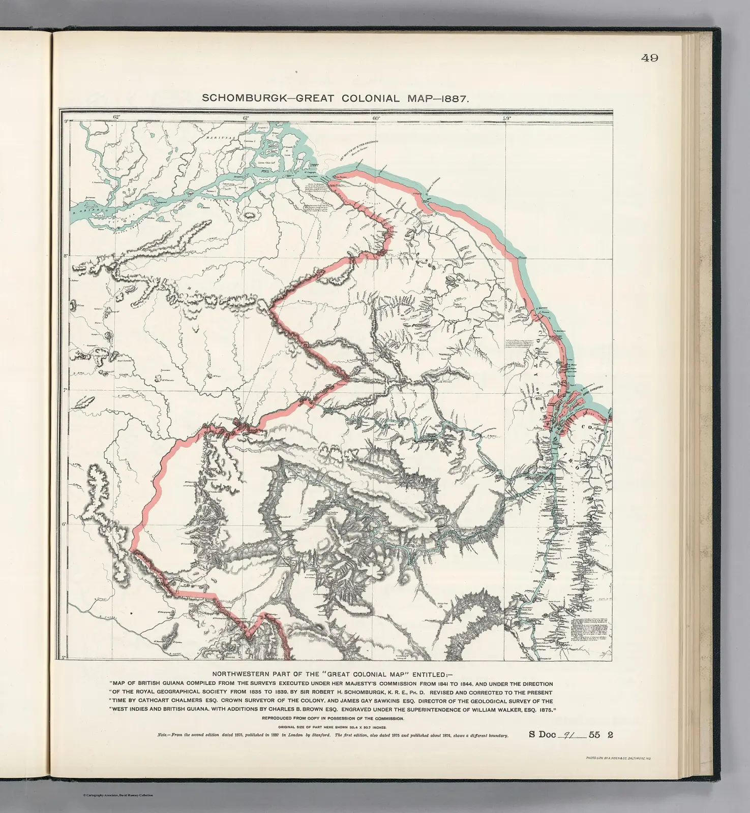
| Author | Schomburgk, K.R.E. Chalmers, Cathcart Sawkins, James Gay Brown, Charles B. Venezuela-British Guiana Boundary Commission |
|---|---|
| Licence | Public domain |
| Source page | https://commons.wikimedia.org/wiki/File:(Facsimile)_Schomburgk-Great_Colonial_Map-1887._49._S_Doc_91_55_2._Northwestern_Part_of_the_%22Great_Colonial_Map%22_Entitled-_%22Map_(IA_dr_facsimile-schomburgk-great-colonial-map-1887-49-s-doc-91-55-2-northwes-1122054).jpg |
| Attribution | "(Facsimile) Schomburgk-Great Colonial Map-1887. 49. S Doc 91 55 2. Northwestern Part of the "Great Colonial Map" Entitled- "Map (IA dr facsimile-schomburgk-great-colonial-map-1887-49-s-doc-91-55-2-northwes-1122054).jpg" by Schomburgk, K.R.E. Chalmers, Cathcart Sawkins, James Gay Brown, Charles B. Venezuela-British Guiana Boundary Commission, Public domain, via Wikimedia Commons (no attribution legally required; credited as good practice) |

This file is not under the article text licence. Use the licence above. Questions: service@computingcore.net.