
File
File:Map of the Colony of Berbice Located in Batavian Guiana in America between the Colonies of Demerara and Suriname WDL11338.png
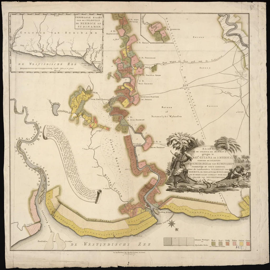
| Author | Bouchenroeder, Friedrich von, flourished circa 1795 |
|---|---|
| Licence | Public domain |
| Source page | https://commons.wikimedia.org/wiki/File:Map_of_the_Colony_of_Berbice_Located_in_Batavian_Guiana_in_America_between_the_Colonies_of_Demerara_and_Suriname_WDL11338.png |
| Attribution | "Map of the Colony of Berbice Located in Batavian Guiana in America between the Colonies of Demerara and Suriname WDL11338.png" by Bouchenroeder, Friedrich von, flourished circa 1795, Public domain, via Wikimedia Commons (no attribution legally required; credited as good practice) |

This file is not under the article text licence. Use the licence above. Questions: service@computingcore.net.