
File
File:Map of the settled districts of the Colony of British Guiana, comprising the Counties of Demerara, Essequibo and Berbice, Shewing the Line of Railway on the East Coast of Demerara, and the projected lines on the... - btv1b52517145b.jpg
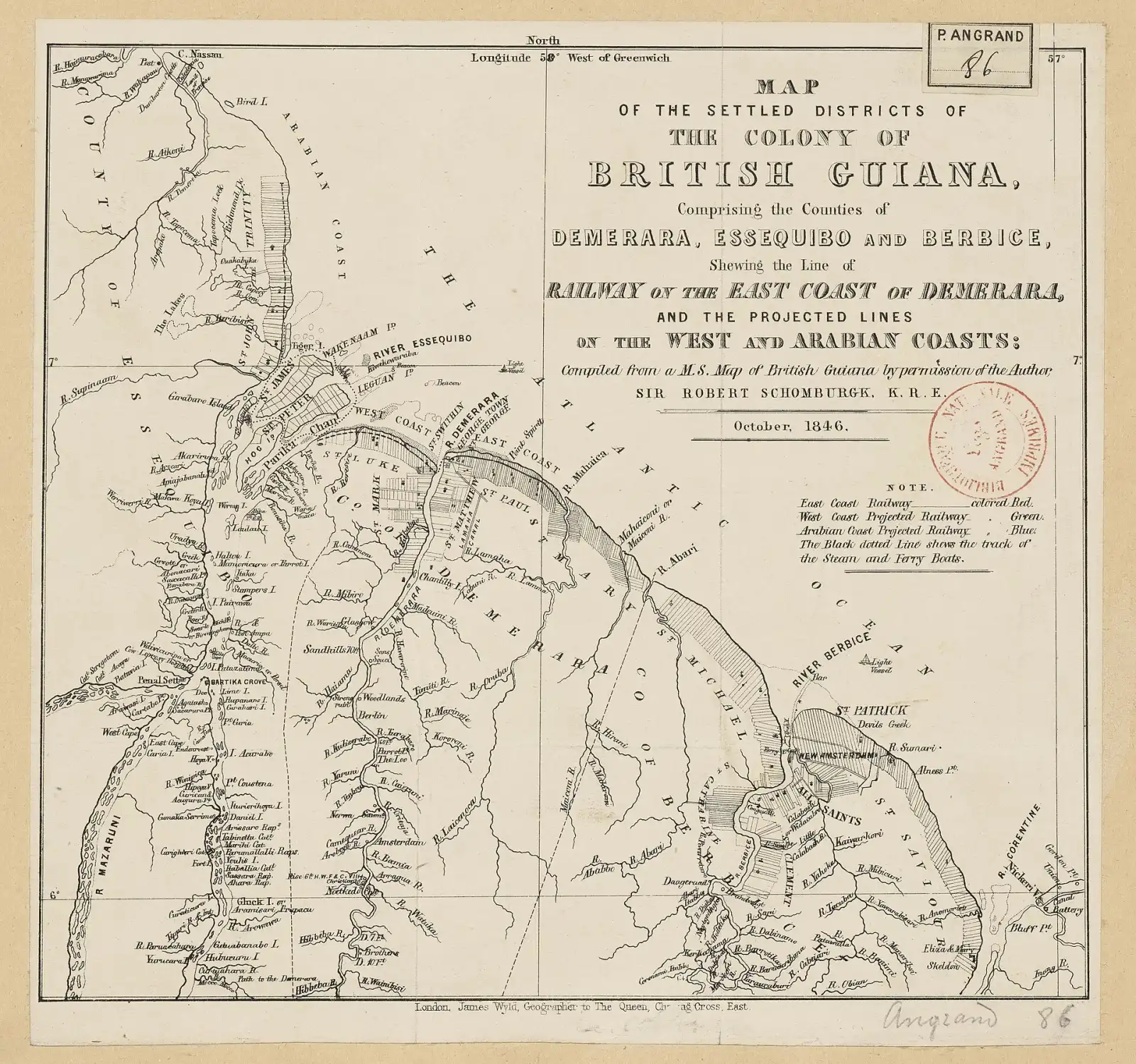
| Author | Schomburgk, Robert Hermann (1804-1865). Auteur du texte Wyld, James (1812-1887). Cartographe |
|---|---|
| Licence | Public domain |
| Source page | https://commons.wikimedia.org/wiki/File:Map_of_the_settled_districts_of_the_Colony_of_British_Guiana,_comprising_the_Counties_of_Demerara,_Essequibo_and_Berbice,_Shewing_the_Line_of_Railway_on_the_East_Coast_of_Demerara,_and_the_projected_lines_on_the..._-_btv1b52517145b.jpg |
| Attribution | "Map of the settled districts of the Colony of British Guiana, comprising the Counties of Demerara, Essequibo and Berbice, Shewing the Line of Railway on the East Coast of Demerara, and the projected lines on the... - btv1b52517145b.jpg" by Schomburgk, Robert Hermann (1804-1865). Auteur du texte Wyld, James (1812-1887). Cartographe, Public domain, via Wikimedia Commons (no attribution legally required; credited as good practice) |

This file is not under the article text licence. Use the licence above. Questions: service@computingcore.net.